
A NASA mission has provided, for the first time, a near-universal estimate of the forest biomass at Earth’s surface, and how much carbon they store. The data set allows measurement uncertainties to be determined with high accuracy, helping climatology to better understand the role of vegetation in the face of climate change.
Called GEDI (short for “Global Ecosystem Dynamics Investigation”), the mission is the first to provide an accurate picture of the measurements. “This means, for every one kilometer of the average biomass estimate, the mission knows how reliable that estimate is,” said Ralph Dabaye, lead researcher.

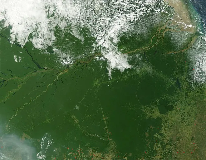
The assessment informs about the regional and global impacts of tree planting and deforestation and how this affects the carbon cycle and ecosystems.
Want to stay up to date with the latest tech news of the day? Access and subscribe to our new YouTube channel, Canaltech News. Every day a summary of the most important news from the world of technology for you!
Installed on the International Space Station, GEDI’s main instrument is a high-resolution LiDAR (a kind of “laser radar”) to reflect laser pulses on Earth’s vegetation, creating a 3D map of forests as well as landforms. , with an accuracy of 1 km.
Since its launch in 2018, GEDI has collected billions of measurements between 51.6 degrees north and south latitude (Nal or less between London and the Falkland Islands, respectively). These data, when combined with atmospheric and ground-based measurements, reveal the amount of vegetation in each specific region of the globe.
Important for climate science
Debayeh explains that the biggest uncertainty is not knowing exactly how much carbon is stored in forests. Plants use the carbon in the atmosphere to grow, but it is necessary to know how much of this element can be released through deforestation and fires.
The team also found that the GEDI estimate is consistent with forest inventories prepared by the Food and Agriculture Organization of the United Nations and the US Forest Service’s Forest Inventory and Analysis.
Many countries with tropical vegetation do not have national forest inventories, says John Armston, head of GEDI Validation and Calibration. Therefore, the survey will support climate reports from these countries, among other applications of climate science.
The GEDI mission has been extended for another year, so it will continue to map the global vegetation until January 2023. The team believes that this time will be enough to support the launch of next-generation LiDAR and radar, such as NISAR, developed by NASA and the Indian Space Agency (ISRO).
Source: Via NASA

Andrea Hargraves is a contributor to Brytfmonline.com, covering a broad range of topics including news, politics, business, technology, sports, entertainment, and lifestyle. She is committed to delivering clear, accurate, and reader-focused reporting that helps audiences stay informed about current events and emerging developments. Andrea’s work emphasizes useful information, balanced coverage, and stories that matter to everyday readers, making complex topics accessible and relevant to a wide audience.